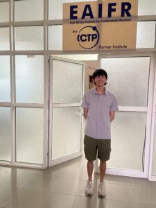
KIVU RIFT – Partners – Georgia Tech, Tulane, Penn State, Rwanda Mines and Energy Board, Lake Kivu Monitoring Program, East Africa Institute for Fundamental Research (EAIFR), Goma Volcano Observatory. January 2022 -May 2026
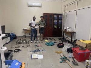
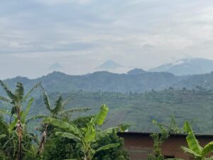
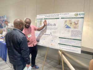
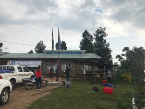
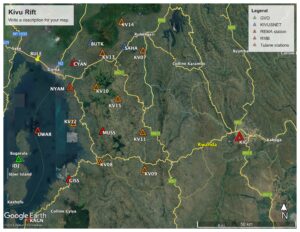
On 22 May 2021, following an eruption along the southern flank of Mount Nyiragongo in the Democratic Republic of Congo (DRC), a graben began opening further southward across the border into Rwanda, and beneath the northern half of Lake Kivu, bounding Rwanda and the DRC. Satellite imagery suggests at least a 10 km-long segment opened about seven meters by the end of May, in a region that included the northern portion of the lake. However, seismicity recorded primarily by a local network in the DRC shows substantial activity continuing another 10-15 km southward below the lake, and structures were damaged onshore in Rwanda. Seismicity from a prior event in 2002 interpreted as a dike intrusion continued for approximately eight months and while the current local seismicity has calmed, aseismic opening may continue for some time. Our seismicity and seismic imaging of the crust aims to further investigate the magma-fault interactions achieving rift opening during and following the 2021 sequence, and to further image crustal structure to understand the consequences of dike intrusion to active and time-averaged deformation. The project will maintain a temporary continuous network of 7 GPS/GNSS stations and 9 seismometers, including 2 that were installed during the intrusion event, to both capture the detailed time history and kinematics of the rifting event, and give additional information for correcting atmospheric and other noise in satellite-based SAR Interferometry. New and permanent seismic and 25 magnetotelluric imaging sites will enable determination of lateral variations in physical properties of the crust, and the degree of magmatic modification. Data: See https://ds.iris.edu/mda/7G/?starttime=2021-01-01T00:00:00&endtime=2024-12-31T23:59:59
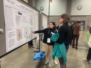
Tulane Team: Cirus Kalugana, PhD student; Albert Kyambikwa, PhD student; Martin Musila, PhD student; Emily Kraus (now at Cambridge University), Emma Knight (BSc ’25), Zach Hom – rising senior